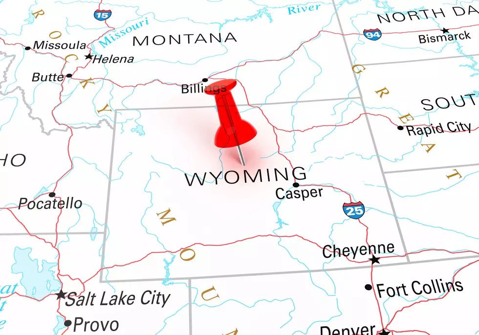
How Big Is Wyoming Compared To Other States?
Wyoming is one of the larger states, as far as land mass goes.
It's the smallest state in population.
Let's compare the state's physical size in miles and acres to see how it compares to other states.
Wyoming is the tenth-largest state in the nation in terms of total area.
Oregon ranks just slightly above Wyoming in ninth place.
The Length and Width of Wyoming
Wyoming is one of three states whose borders consist entirely of straight lines. Well, straight-ish. Get out there and look close you'll see it wobbles a bit along the landscape.
Utah and Colorado are the two other states that have straight-ish borders.
Wyoming is almost a rectangle that measures nearly 100 miles further east to west than its north-to-south measurement.
Almost - because the top of Wyoming is shorter than the bottom, due to the curvature of the Earth.
Overall Wyoming stretches 375 miles (604 kilometers) from east to west.
Wyoming measures 276 miles (444 kilometers) from north to south.
Driving from the Colorado border to the Montana border should take about 5 hours, on Interstate 25.
It would take almost 6 hours to drive Interstate 80 from the East side of Wyoming to the West side.
Most of Wyoming is owned by the Federal Government
Federal land is managed for many purposes, such as the conservation and development of natural resources, grazing, and recreation.
The federal government owns 48.19 percent of Wyoming's total land.
That's 30,043,512 acres out of 62,343,040 total acres owned by the Federal Government.
The Feds had agreed to turn this land over to Wyoming as part of their deal to become a state. That deadline is way past due.
