
Why Are All Those Planes Crisscrossing Over Wyoming
If you look up in some parts of Wyoming you won't see much for air traffic.
But in some other areas, traffic seems to crisscross right above you.
So, what's going on up there?
Wyoming, the land of big, open sky.
Sorry Montana. I know you're "BIG SKY COUNTRY," but Wyoming has that too.
Wyoming is also part of what some call "FLY OVER COUNTRY."
There's not much down here in these Western states, so most of the country just fies over it while going someplace else.
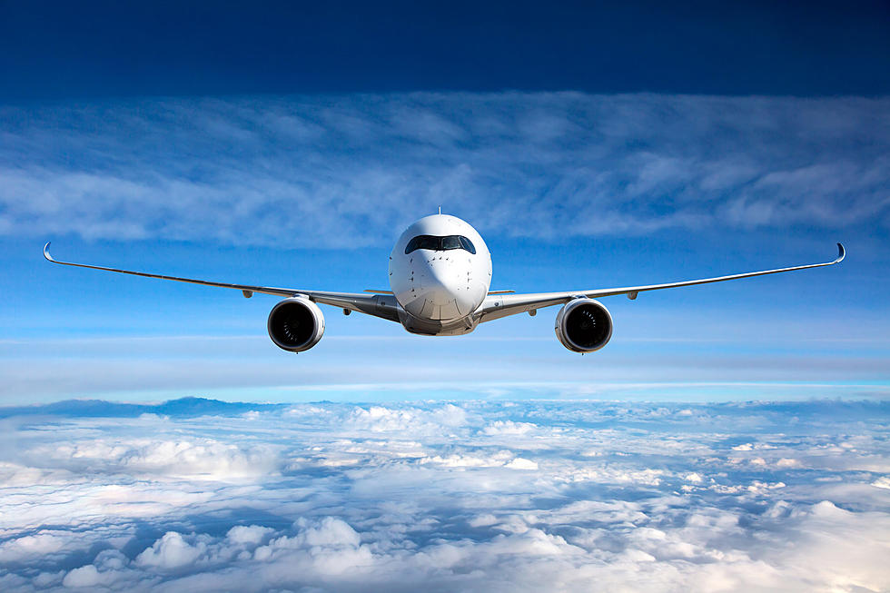
When you look up and see a jetliner you are looking at it following the HIGHWAYS IN THE SKY.
This map is just for airplanes flying at high altitudes. Usually around 30,000 feet or more.
This screenshot of VICTOR AIRWAYS has Billings Montana at the top, Denver at the bottom and Salt Lake City on the far bottom left.
The green dots you see are Wyoming airports.
Don't worry you won't see any midair collisions.
Different vectors (directions given) are at different altitudes, depending on which direction they are heading.
From the movie AIRPLANE: "What's our Vector Victor?"
The contrails you see happen when hot jet engines fly threw humid air.
Humidity is not uniform.
There are often different amounts at different altitudes.
It can be thick at times or thin, or even skip.
Planes flying at lower altitudes are usually smaller and are usually privately owned.
Their map looks quite a bit different.
These smaller and lower altitude planes don't need to follow highways in the sky.
They can choose their own routes.
But traffic heading west, generally, is at even altitudes. Like 8500 feet.
Traffic heading east is at odd altitudes such as 9500 feet.
Those rules provide separation for traffic going in the opposite direction.