
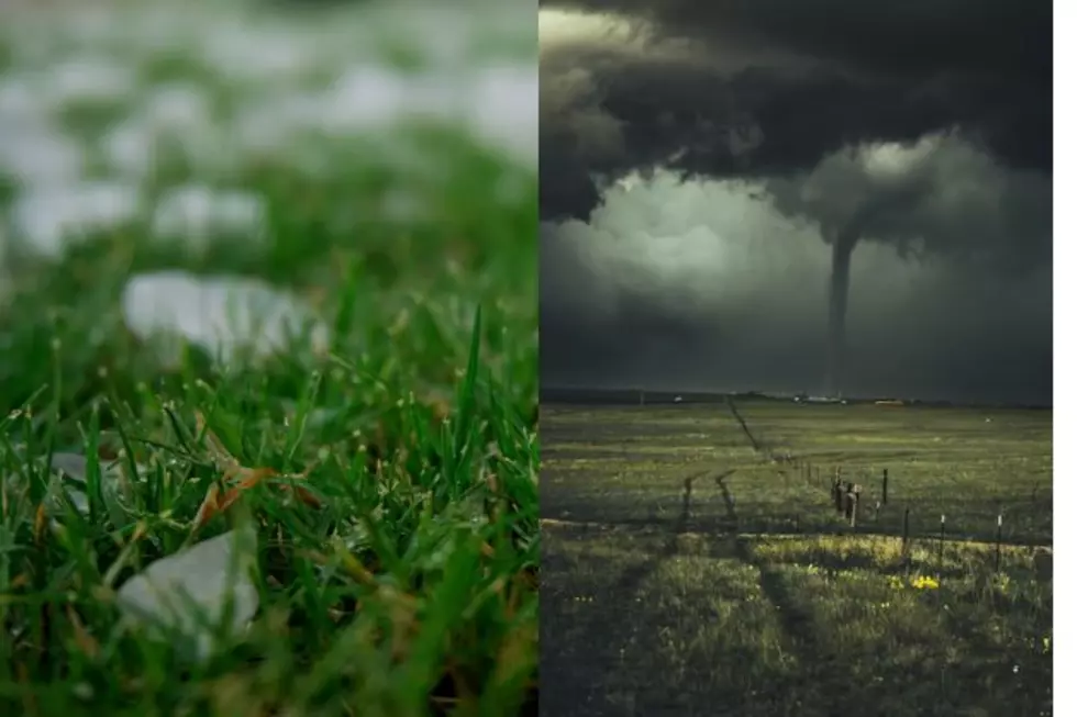
Large Hail, Damaging Winds, Isolated Tornadoes Possible In SE Wyoming
The Cheyenne Office of the National Weather Service says severe storms are possible in southeast Wyoming today [June 8].
The agency posted the following on Facebook:
Here is the updated severe weather outlook for Monday, June 8th. All modes of severe weather will be possible this afternoon with large hail and strong winds the most likely hazards. An isolated tornado or two is possible, as well as flash flooding. Best timing to see the strongest storms will be between 3 PM and 10 PM.

The agency released a special weather statement which includes the following;
"Key Points:
\● Strong to severe thunderstorms are expected again today, forming off of the high terrain and moving eastwards into the high plains.
● Storms are expected during the afternoon, with all severe hazards possible, including large hail, strong winds, and even a tornado or two.
● Best area for stronger storms will be along the I-80 corridor from Cheyenne0 eastwards. Strongest Storm Timing: 2 PM to 9 PM"
Here is this week's southeast Wyoming weather forecast:
Hot to start the week with fire concerns Tuesday and Wednesday. Temperatures cool mid-week, before increasing for the weekend. Isolated to scattered showers and storms are possible Monday and Wednesday, with isolated showers in the mountains on Tuesday.
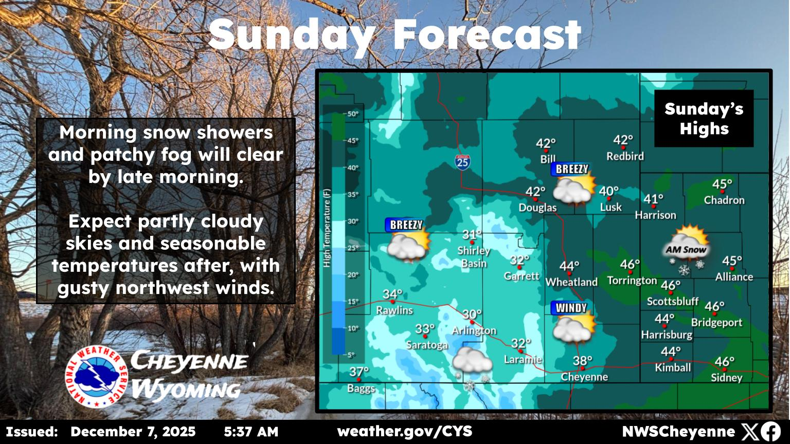
Cheyenne, Laramie Weather Forecasts
Cheyenne Forecast