

SE Wyoming Weather: 90s To Start Week, Severe Storms Possible Tuesday-Thursday
The Cheyenne Office of the National Weather Service says southeast Wyoming residents can expect a hot day today, followed by cooler, wetter weather.

The agency posted the following on it's website:
Summer will be in full swing for the week ahead. Monday looks like another hot day with a few very isolated showers or storms possible. Expect slightly cooler conditions Tuesday through Thursday with daily chances for scattered PM thunderstorms returning. Drier conditions will return to the area Friday onwards. A significant heat wave is increasingly likely for our area beginning Saturday and continuing for several days beyond. Fire danger will remain elevated all week.
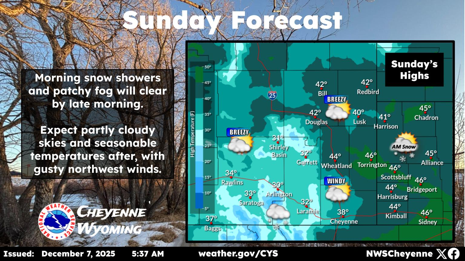
With increasing low level moisture, thunderstorms will return to the region today and continue through Thursday. There is a Marginal Risk for severe thunderstorms across the eastern plains Tuesday and Wednesday. Large hail and strong gusty winds possible.
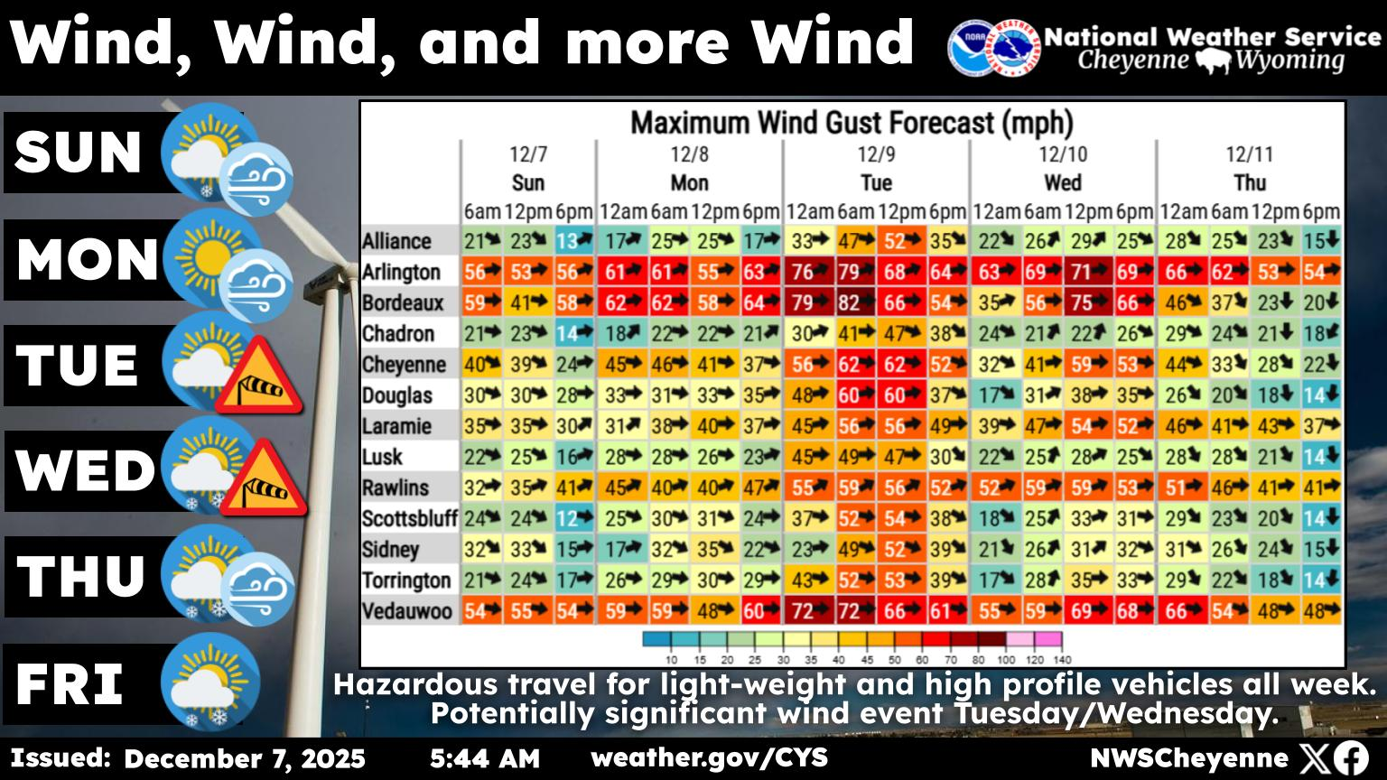
Cheyenne, Laramie Forecasts
Cheyenne Forecast
Local Pilots Give Wyoming Kids A Free Flight
Gallery Credit: Glenn Woods