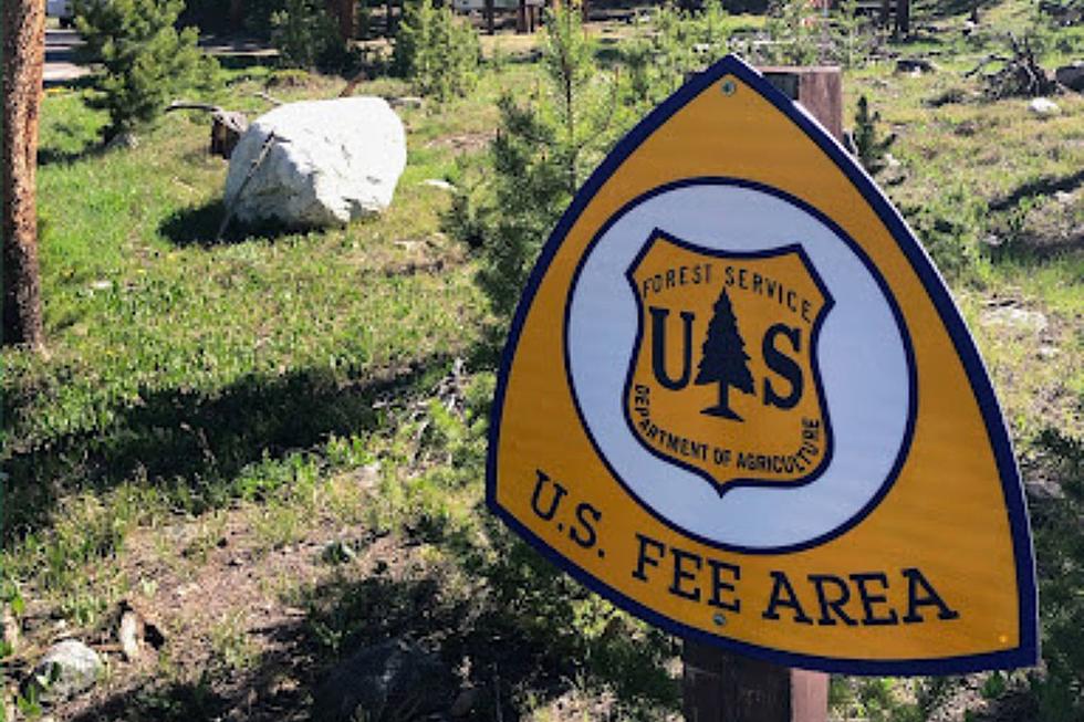
U.S. Forest Fees to Increase for Better Outdoor Wyoming FunU.S. Forest Fees to Increase for Better Outdoor Wyoming FunIncreased fees are coming...for a good cause.Nicole SherwoodNicole Sherwood
UPDATE: Man Killed in Snowmobile Crash in Snowy Range IdentifiedUPDATE: Man Killed in Snowmobile Crash in Snowy Range IdentifiedA Florida man killed in a snowmobile crash in southeast Wyoming's Snowy Range earlier this month has been identified.Joy GreenwaldJoy Greenwald
1 Dead After Snowmobile Crash in Southeast Wyoming's Snowy Range1 Dead After Snowmobile Crash in Southeast Wyoming's Snowy RangeA man is dead following a snowmobile crash in southeast Wyoming's Snowy Range, the Albany County Sheriff's Office says.Joy GreenwaldJoy Greenwald
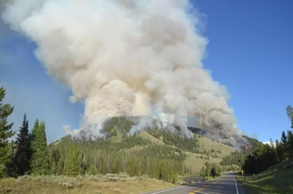
Human-Caused Fire Burning in Bridger-Teton National ForestHuman-Caused Fire Burning in Bridger-Teton National ForestFire danger in the area is currently high. Zach SpadtZach Spadt
Burn Severity MapBurn Severity MapSpecialists with the Forest Service Burned Area Emergency Response recently finished collecting data and verification field work of the Badger Creek Fire burn area and have compiled a Soil Burn Severity Map.Sara TeterSara Teter
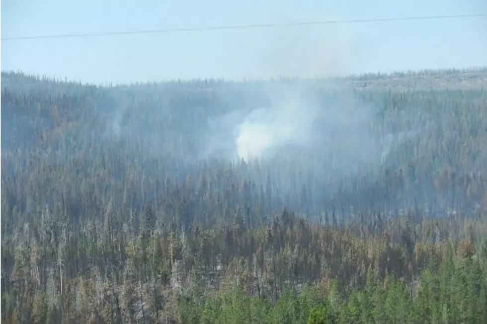
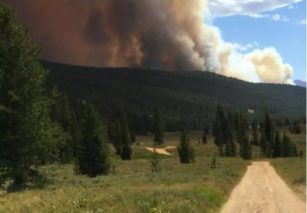
New Fires New Fires Two new, smaller fires have started in the vicinity of the Badger Creek Fire and fire resources are on the scene.Sara TeterSara Teter
Pole Creek Fire in Western Wyoming Now 15 Percent ContainedPole Creek Fire in Western Wyoming Now 15 Percent ContainedThe Pole Creek Fire was first reported Friday and burned about 3,000 acres over the weekend.Nick LearnedNick Learned
Wyoming Wildfires Have Burned About 100 Square Miles This SummerWyoming Wildfires Have Burned About 100 Square Miles This SummerThe weather and other conditions can result in quickly evolving fire situations.Tom MortonTom Morton
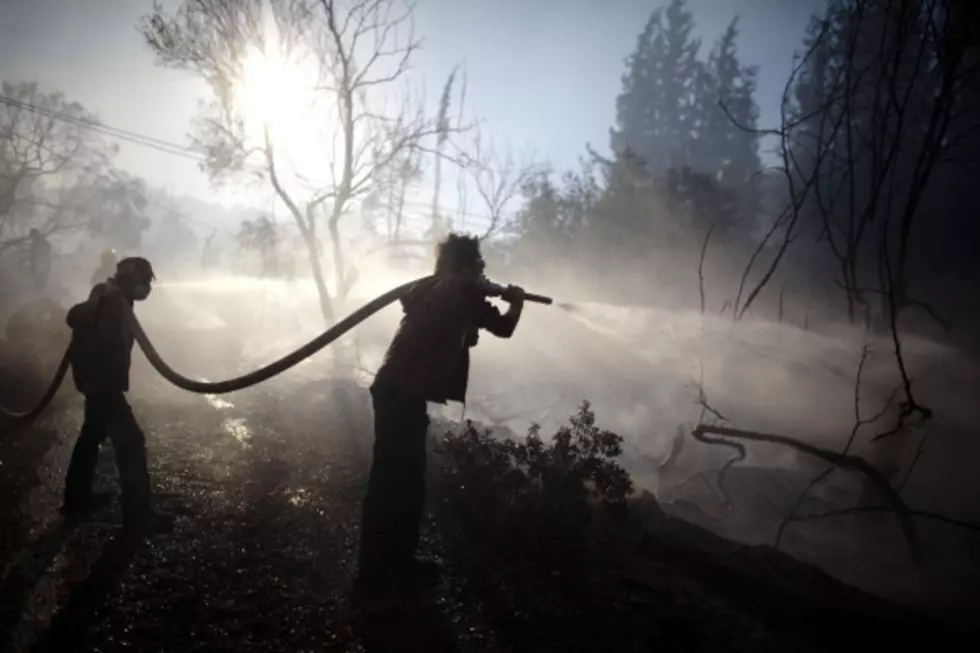
U.S. Forest Service, Cliff Creek Fire, Bridger-Teton National Forest, Teton County, Lava Mountain Fire, Hatchery Fire, U.S. Forest Service, Cliff Creek Fire, Bridger-Teton National Forest, Teton County, Lava Mountain Fire, Hatchery Fire, Firefighters are using controlled burns to consume fuel between the operations lines and the Cliff Creek Fire.Tom MortonTom Morton
New Fire Near Ten Sleep Closes Highway To BuffaloNew Fire Near Ten Sleep Closes Highway To BuffaloThe Hatchery Fire started east of Ten Sleep on Friday afternoon and has grown to more than 3,000 acres by Saturday morning.Tom MortonTom Morton
UPDATE: Cliff Creek, Lava Mountain Fires Grow; Highway 191 To Jackson ReopensUPDATE: Cliff Creek, Lava Mountain Fires Grow; Highway 191 To Jackson ReopensThe Cliff Creek Fire is among nine monitored and fought by the USFS in Wyoming.Tom MortonTom Morton
Wyoming Fire Closes Highway To JacksonWyoming Fire Closes Highway To JacksonThe 40-mile section of U.S. Highway 191/189 is a popular road for travel from southwestern Wyoming to Jackson Hole.Tom MortonTom Morton