Weather Service Issues Winter Weather Advisory For Much Of Wyoming
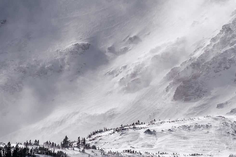
The National Weather Service has issued a winter weather advisory for much of Wyoming from early Saturday morning through early Sunday morning, with central Wyoming bearing the brunt of the storm.
"Snow will develop over western Wyoming shortly after midnight Friday night, and spread to areas east of the Divide by sunrise Saturday," according to a statement from the NWS Riverton office.
"The snow is then expected to end from north to south Saturday night. The snow is expected to last the longest across Fremont and Natrona Counties where the heaviest snowfall amounts from this winter storm are expected at this time," according to the Weather Service.
The snow is expected to end by Sunday morning.
And when this is over, the Weather Service said it will come back next weekend. "The first taste of bitterly cold temps are expected by next Thursday and Friday, with afternoon highs in the teens and overnight lows 0 to 5 degrees"
The Weather Service also cautioned the weather will cause difficult driving in some areas. For traffic updates, visit the Wyoming Department of Transportation's website wyoroad.info.
So here's the rundown by regions:
Natrona County: snow will become widespread by Saturday afternoon and continue 10 inches on Casper Mountain and 3 to 6 inches in the lower elevations.
Travel may become difficult on the mountain. Expect slick, icy and snow-packed pavement with low visibility on Interstate 25, U.S. Highway 26, and Wyoming Highway 220.
Fremont County: Accumulations are expected to be 3 inches to 6 inches, with up to 13 inches expected in the Wind River mountains including South Pass.
Be prepared for reduced visibility. Travel may become difficult on South Pass, and U.S. Highways 287 and 26 and Wyoming Highway 789.
Johnson County: Accumulations of 2 inches to 5 inches are expected with some areas receiving up to 7 inches.
Be prepared for reduced visibility, with travel delays on Interstates 25 and 90.
Southern Campbell County: Total snow accumulations of 3 inches to 5 inches are expected.
Be prepared for slick roads and reduced visibility.
Wind River Mountains west and Upper Green River Basin foothills: Accumulations will be 3 inches to 5 inches, with some areas receiving up to 13 inches including South Pass.
Be prepared for reduced visibility, and travel may become difficult on South Pass.
Southwest Bighorn Basin, Owl Creek, Bridger Mountains: Total accumulations of 4 inches to 6 inches, with localized amounts up to 11 inches.
Be prepared for reduced visibility at times.
Park and Hot Springs counties: Snow will become widespread by Saturday morning, and accumulations are expected to be 5 to 9 inches in the mountains and 2 to 4 inches in the lower elevations.
Be prepared for reduced visibility. Travel may become difficult on Chief Joseph Highway and through the Wind River Canyon.
Bighorn Mountains west and southeast: Accumulations of 5 inches to 8 inches are expected, with some areas receiving up to 13 inches.
Be prepared for reduced visibility, with difficult travel on Powder River Pass.
Green Mountains, Rattlesnake Range and Jeffrey City: Accumulations of 3 inches to 5 inches are expected, with some areas receiving up to 10 inches.
Be prepared for slippery roads and reduced visibility at times. Travel may become difficult on Highway 287 from Beaver Rim to Muddy Gap.
Sweetwater County: Snow will become widespread by Saturday afternoon, and will continue through the night. Accumulations are expected to be 2 to 4 inches east of Green River with an inch or less west of the city.
Expect slick, icy and snow-packed pavement with low visibility on Interstate 80 from Green River to Wamsutter.
Teton County: Snow will become widespread by Friday evening and continue through Saturday. Accumulations of 6 to 13 inches are expected in the mountains and 3 to 6 inches are expected in the valleys.
Be prepared for slippery road conditions, and reduced visibility. Travel may become difficult on Teton and Togwotee passes.
Yellowstone National Park: snow will become widespread by late Friday evening and continue through Saturday. Accumulations of 4 to 8 inches are expected in the mountains and 2 to 4 inches expected in the valleys,
More From Y95 Country