
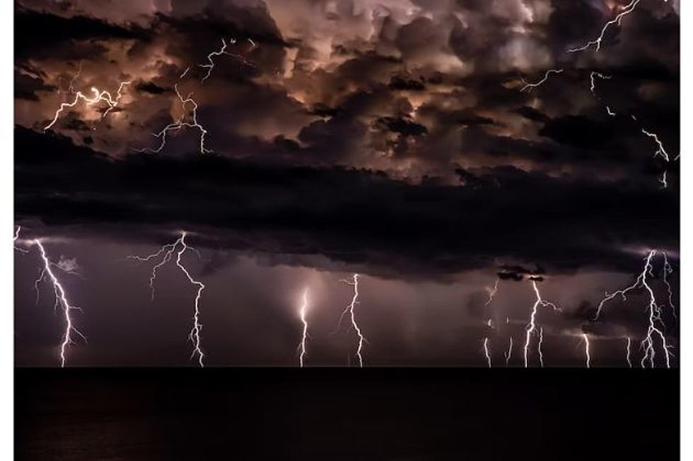
Heavy Rain, Severe Weather Possible In SE Wyoming
The Cheyenne Office of the National Weather Service says a cool front that is expected to hit southeast Wyoming over the next few days may bring heavy rain and some severe storms to the region.
The agency posted the following on its website:
A cool front is expected to sweep through the area on Wednesday. After this front passes through, thunderstorm chances are expected to increase during the next couple of days. Some of the thunderstorms may produce some severe weather and heavy rainfall on Thursday. The heat is expected to turn back on this weekend with much less thunderstorm coverage.
Here is the forecast for Cheyenne:
Today
A 40 percent chance of showers and thunderstorms, mainly after noon. Partly sunny, with a high near 83. West northwest wind 10 to 15 mph becoming east in the afternoon.
Tonight
A 40 percent chance of showers and thunderstorms. Mostly cloudy, with a low around 58. Southeast wind 5 to 10 mph becoming west southwest in the evening.
Thursday
Showers and thunderstorms. High near 72. South wind 5 to 15 mph becoming east northeast in the afternoon. Chance of precipitation is 100%.
Thursday Night
A 50 percent chance of showers and thunderstorms before midnight. Mostly cloudy, with a low around 53. East northeast wind 5 to 15 mph becoming southwest after midnight.
Friday
A 30 percent chance of showers and thunderstorms after noon. Sunny, with a high near 79. Southwest wind 5 to 10 mph becoming south southeast in the afternoon.
Friday Night
Mostly clear, with a low around 55.
Saturday
Sunny, with a high near 87.
Saturday Night
Mostly clear, with a low around 59.
Sunday
Mostly sunny and hot, with a high near 91.
Sunday Night
Partly cloudy, with a low around 61.
Monday
A slight chance of showers and thunderstorms. Mostly sunny and hot, with a high near 93.
Monday Night
A slight chance of showers and thunderstorms. Mostly cloudy, with a low around 63.
Tuesday
A slight chance of showers and thunderstorms. Mostly sunny and hot, with a high near 92.
Here is the Laramie Forecast:
Today
A 50 percent chance of showers and thunderstorms, mainly after noon. Partly sunny, with a high near 74. West southwest wind around 15 mph becoming east northeast in the afternoon.
Tonight
A 30 percent chance of showers and thunderstorms. Mostly cloudy, with a low around 54. East wind 10 to 15 mph becoming south after midnight.
Thursday
Showers and thunderstorms. High near 62. South wind 10 to 15 mph becoming north northeast in the afternoon. Chance of precipitation is 90%.
Thursday Night
A 40 percent chance of showers and thunderstorms before midnight. Partly cloudy, with a low around 49. East wind 5 to 15 mph becoming southwest after midnight.
Friday
A 20 percent chance of showers and thunderstorms after noon. Sunny, with a high near 71. Southwest wind 5 to 15 mph becoming north northeast in the afternoon.
Friday Night
Mostly clear, with a low around 52.
Saturday
Sunny, with a high near 77.
Saturday Night
Mostly clear, with a low around 57.
Sunday
Mostly sunny, with a high near 80.
Sunday Night
Partly cloudy, with a low around 57.
Monday
A slight chance of showers and thunderstorms. Mostly sunny, with a high near 82.
Monday Night
A slight chance of showers and thunderstorms. Mostly cloudy, with a low around 58.
Tuesday
A slight chance of showers and thunderstorms. Mostly sunny, with a high near 81. Breezy.