
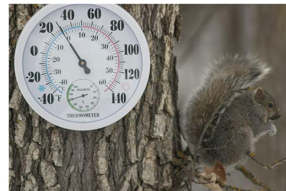
Freezing Temperatures, Possible Snow In SE Wyoming Forecast
The Cheyenne Office of the National Weather Service says overnight temperatures across southeast Wyoming will likely plunge close to or below freezing after this week.
Cheyenne and Laramie both could see their first snow showers of the fall season as well
The agency posted the following on its Facebook page:

Today will be mostly cloudy and breezy with scattered showers, most numerous west of Interstate 25. High temperatures will be in the 50s and 60s. Wednesday will be sunny and a bit warmer, with highs in the upper 50s and 60s. A cold front will bring cooler temperatures under mostly sunny skies for Thursday, with highs in the 50s to near 60 degrees.
Here is the Cheyenne forecast:
Today
Isolated sprinkles after noon. Mostly sunny, with a high near 60. Breezy, with a west wind 15 to 25 mph, with gusts as high as 35 mph.
Tonight
Isolated sprinkles after midnight. Partly cloudy, with a low around 37. Breezy, with a west northwest wind 15 to 20 mph decreasing to 10 to 15 mph after midnight. Winds could gust as high as 30 mph.
Wednesday
Partly sunny, then gradually becoming sunny, with a high near 62. West southwest wind 10 to 15 mph.
Wednesday Night
Mostly clear, with a low around 38. West wind around 10 mph becoming north northwest after midnight.
Thursday
Sunny, with a high near 57. North wind 10 to 15 mph becoming east northeast in the afternoon.
Thursday Night
A 20 percent chance of showers after midnight. Partly cloudy, with a low around 31.
Friday
A slight chance of rain and snow showers before 11am, then a slight chance of rain showers between 11am and noon. Sunny, with a high near 55. Chance of precipitation is 20%.
Friday Night
Mostly clear, with a low around 31.
Saturday
Sunny, with a high near 66.
Saturday Night
Clear, with a low around 39.
Sunday
Sunny, with a high near 72.
Sunday Night
Mostly clear, with a low around 43.
Columbus Day
Sunny, with a high near 72.
Here is the Laramie forecast:
Today
Scattered showers after noon. Partly sunny, with a high near 52. Breezy, with a west wind 20 to 25 mph, with gusts as high as 35 mph. Chance of precipitation is 30%.
Tonight
Scattered showers before midnight, then isolated sprinkles after midnight. Mostly cloudy, with a low around 33. Breezy, with a west northwest wind 15 to 20 mph decreasing to 10 to 15 mph after midnight. Winds could gust as high as 30 mph. Chance of precipitation is 30%.
Wednesday
Areas of frost before 8am. Otherwise, mostly sunny, with a high near 57. Breezy, with a west southwest wind 10 to 15 mph increasing to 15 to 20 mph in the afternoon. Winds could gust as high as 30 mph.
Wednesday Night
Partly cloudy, with a low around 34. West wind 10 to 15 mph, with gusts as high as 25 mph.
Thursday
Mostly sunny, with a high near 56. West northwest wind 5 to 10 mph.
Thursday Night
A slight chance of rain and snow showers before 1am, then a slight chance of rain showers between 1am and 5am, then a slight chance of rain and snow showers after 5am. Mostly clear, with a low around 30. Chance of precipitation is 20%.
Friday
A slight chance of rain and snow showers before noon. Sunny, with a high near 54. Chance of precipitation is 20%.
Friday Night
Mostly clear, with a low around 31.
Saturday
Sunny, with a high near 65.
Saturday Night
Clear, with a low around 35.
Sunday
Sunny, with a high near 68.
Sunday Night
Mostly clear, with a low around 37.
Columbus Day
Sunny, with a high near 67.
Most Extreme October Weather In Cheyenne
A look back at some of October's wildest weather