Near-Record Highs Forecast For SE Wyoming Monday, Tuesday
The Cheyenne Office of the National Weather Service is predicting near-record high temperatures across southeast Wyoming today and tomorrow [August 21 and 22].
The agency posted the following on its website:
''Hot temperatures will return to the high plains to open up the work week! Temperatures could be near daily record highs at a few locations for the next two days, reaching the upper 80s to lower 90s west of I-25, and 90s to lower 100s further east. Look for dry weather Monday, but isolated PM storms return to Wyoming on Tuesday.''

But it looks like we will get a break from the hot weather towards mid-week:
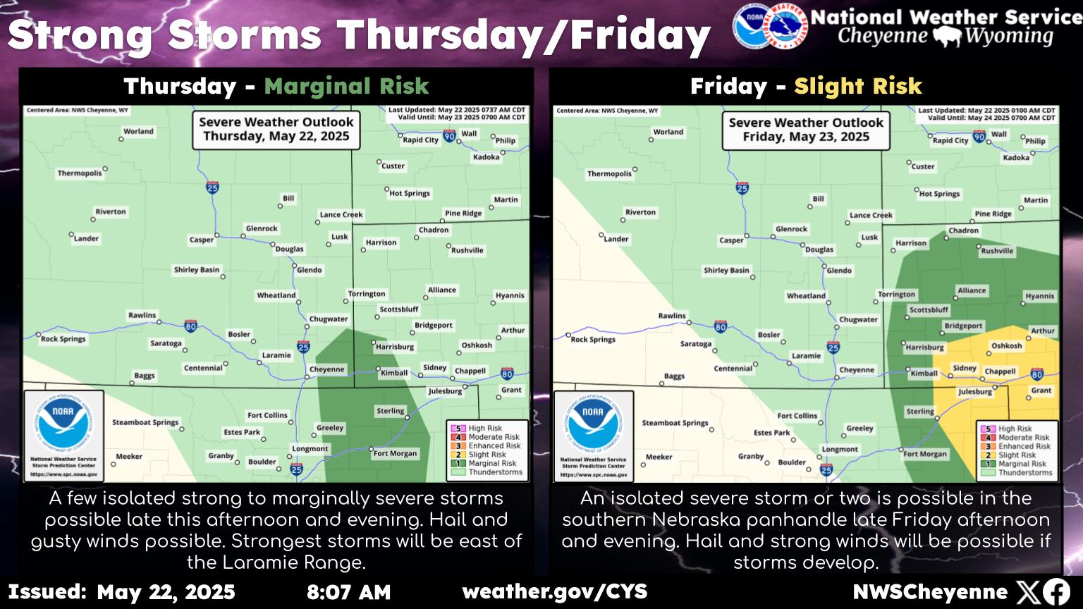
The forecast for southeast Wyoming and Nebraska Panhandle becomes more unsettled mid week into the weekend. Look for increasing chances for afternoon and evening storms each day, peaking out Friday into Saturday. These two days, we could see heavy rainfall across many areas. Slow moving or training thunderstorms could lead to areas of flash flooding that we will need to keep an eye on as we get closer to the event. Stay tuned!

