
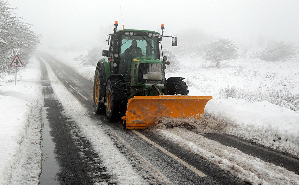
Winter Weather To Return To Southeast Wyoming Friday, Saturday
While Today's high temperatures in southeast Wyoming could approach a very summer-like 70 degrees in some area, old man winter is et to make a return to the area by this weekend.
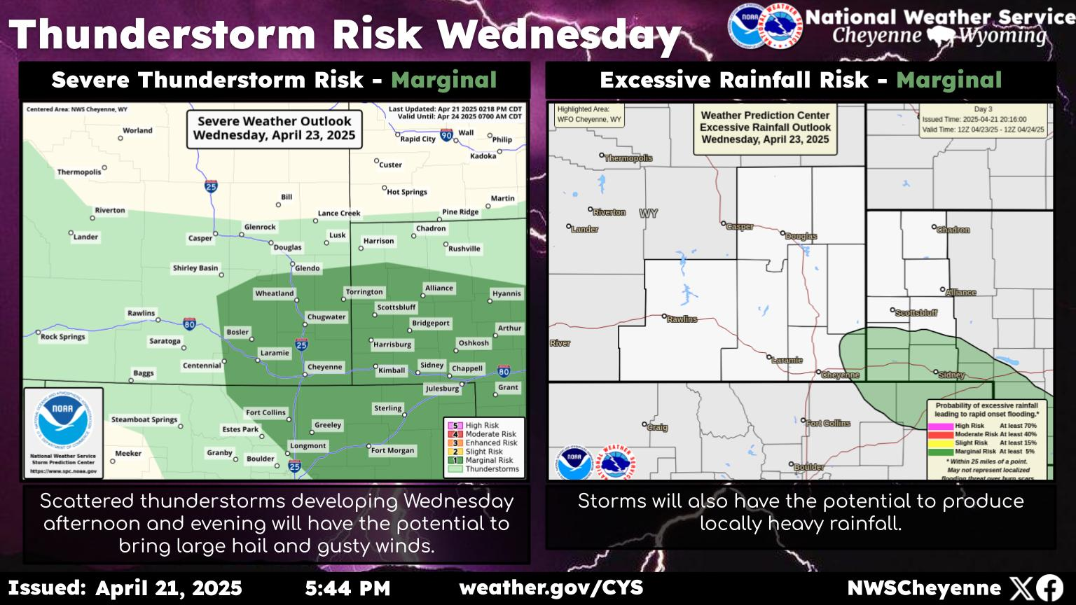
That's according to the Cheyenne Office of the National Weather Service. The agency posted this statement on its website:
Here's a look at southeast Wyoming and Nebraska Panhandle weather through the weekend, into the start of next week. The strong winds we're expecting Wednesday will begin to ease for Thursday. Snowshowers can be expected in the western mountains late Thursday. A cold front will approach Thursday afternoon and will move east through the day Friday. Snow is expected to be fairly widespread west of the Laramie Range Friday, with eastern areas picking up the snow Friday evening. Saturday looks cold and snowy for just about everyone. Travel impacts are elevated due to this snow Saturday. To start the next work week, a widespread strong wind event is possible leading to significant travel impacts for light-weight and high profile vehicles. If making travel plans across southeast Wyoming the end of the week into the weekend, you should stay tuned to later updates in the forecast to adjust your plans if needed. Be safe!

See Striking Photos of the Tourism Industry During COVID-19
More From Y95 Country


![Gary LeVox’s ‘Christmas Will Be Different This Year’ Is a Forlorn Holiday Song for 2020 [Listen]](http://townsquare.media/site/204/files/2020/11/Gary-LeVox.jpg?w=980&q=75)