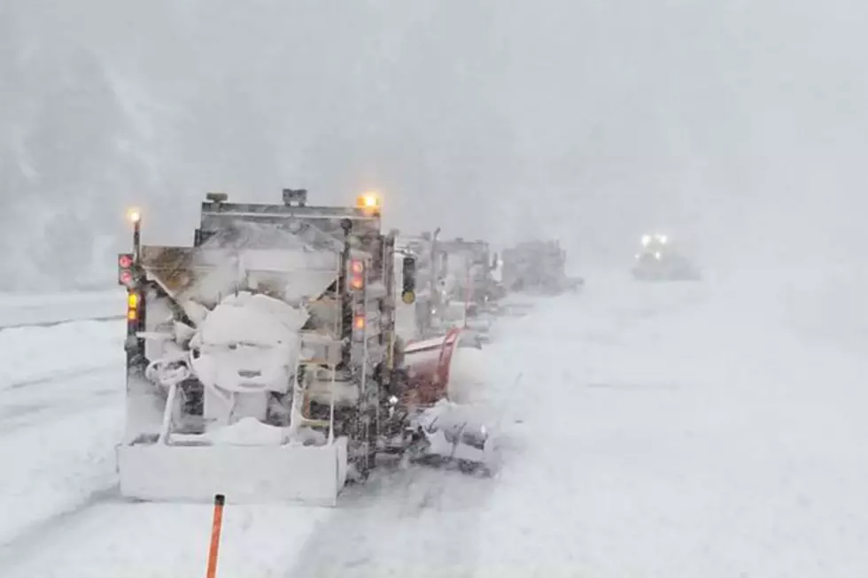
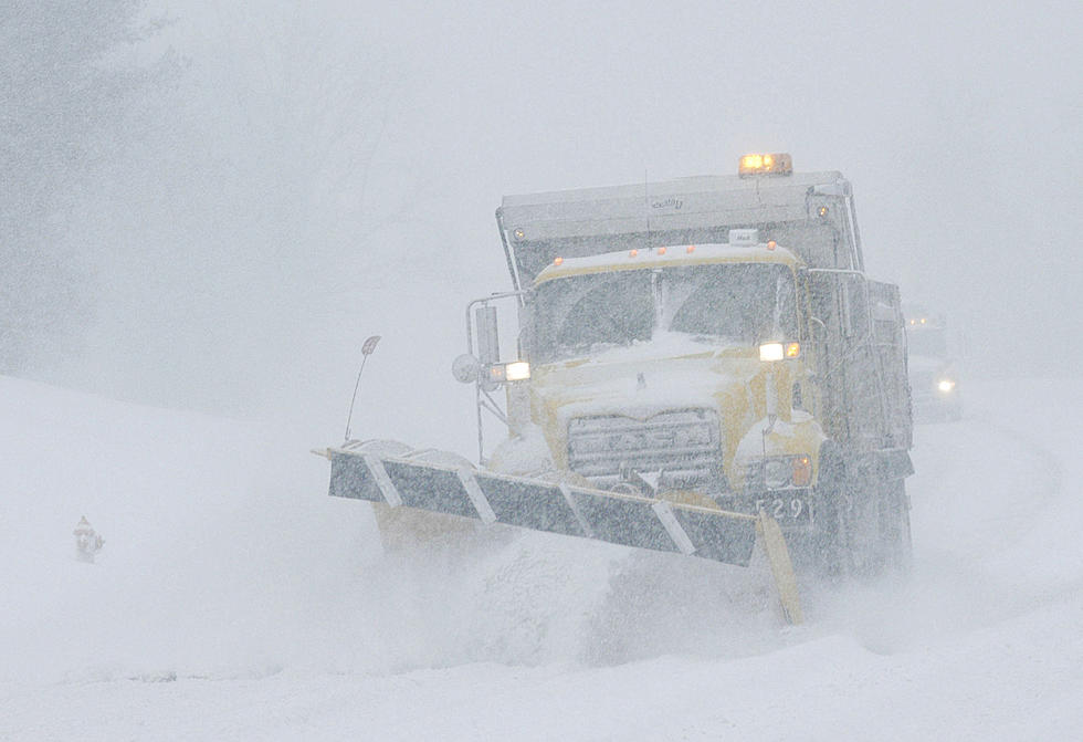
Travel Impacts Likely on I-80 West of Cheyenne Early Next Week
Higher elevations of southeast Wyoming could see "significant snow" early next week, as the season's first major winter storm moves across the region.
It's still too early to predict how much snow will fall in the mountains, but the National Weather Service in Cheyenne says travel on Interstate 80 west of Cheyenne will likely be impacted.

A strong storm system will move across the central Rockies early next week. It will bring colder and windy weather with rain and snow, but it's too early to pin down some important details. There is a threat of significant snow somewhere across the higher elevations of southern Wyoming, while the lower elevations in Wyoming and the Nebraska panhandle will have rain. Along I-25 in Wyoming there is uncertainty about whether it will snow and how much. If it does snow in Cheyenne and along I-25 the threat would be wet snow along with strong winds late Tuesday and early Wednesday.

"The big question is the rain/snow line which will settle somewhere between 5,000 and 6,500 feet for Tuesday night and Wednesday," meteorologist Chad Gimmestad said in an email Friday afternoon.
"The mountains will have snow by Monday night, with rain changing to snow in Rawlins and Laramie Tuesday," he added. "For Cheyenne and the I-25 corridor rain may change to wet snow late Tuesday and early Wednesday, but this is where uncertainty is the greatest."
READ MORE:
A Look Back At Cheyenne's Worst October Snow Storms
Pictures From Wyoming Snowpocalypse 2021
More From Y95 Country