
Winter Storm Watches Issued For SE Wyoming Mountains For Midweek
Bills, Rent, Vacation, A Special Surprise? How would Winning $10,000 change your life? Tap HERE for Details
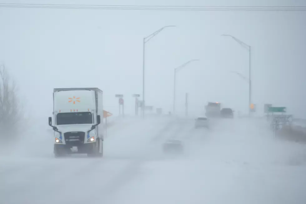
The Cheyenne Office of the National Weather Service has issued winter storm watches for the Sierra Madre and Snowy Range Mountains for Wednesday through Friday.
But the agency also says the watches could be upgraded into warnings and expanded as the week continues.

The weather service posted the following statement on Monday morning:
Winter Storm Watches have been issued for the Snowy Range and South Laramie Range beginning Wednesday morning. Periods of rain and snowfall are expected across southeast WY and western NE Tuesday morning through Friday with the most impacts being Wednesday and Thursday. The area with the most travel impacts expected is I-80 between Cheyenne and Elk Mountain in terms of snowfall totals and blowing snow. Our confidence in these snowfall totals is still medium as there are a lot of unknowns, but as the system moves into our region today and tomorrow, we should have higher confidence and will adjust our headlines and snowfall totals accordingly. As always, make sure to follow up on our forecast on Twitter and Facebook at NWSCheyenne, or online at weather.gov/cys. #WYwx #NEwx #WYOroad #NEroad
Here are the current weather event impact highlights:
- Getting the word out on a prolonged snow event possibility, as a slow moving low pressure system tracks across northern Colorado through the week.
- Snow begins as early as Tuesday morning across the Snowy and south Laramie Ranges, becoming impactful Tuesday night through Thursday morning.
- Watches and subsequent warnings and advisories likely to be expanded as we get closer to the event. Model disagreement as led to a Medium Confidence Level on snow amounts and heavy snow locations.
- Strong easterly wind gusts of 35 to 45 mph possible Tuesday night into Thursday morning, leading to areas of blowing snow.

MORE: Some of the Memes & Tweets That Have Made Us Laugh (and Maybe Think)
More From Y95 Country


![Luke Bryan Asks ‘American Idol’ Contestant Chayce Beckham for Pointers on How to Be Cool [Watch]](http://townsquare.media/site/204/files/2021/04/ChayceBeckham.jpg?w=980&q=75)


![Ryan Hurd Shares Sweet Birthday Message for Maren Morris: ‘You Make My Life Better Every Day’ [Picture]](http://townsquare.media/site/204/files/2019/07/ryan-hurd-panorama-ep-maren-morris.jpg?w=980&q=75)