SE Wyoming Facing Winter Weather Advisory Up To Six Inches Of Snow
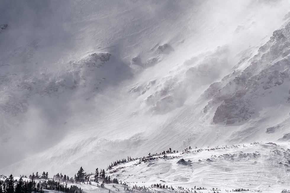
Much of southeast Wyoming will be under a Winter Weather Advisory starting this evening and into Thursday morning.
While both Cheyenne and Laramie were just outside of the advisory area as of 8 am, the weather service said it's very possible that the advisory would be extended to cover a larger area at some point. The summit between the two communities was included, and travel conditions over the summit could become problematic over the next day or so.
That's according to the Cheyenne Office of the National Weather Service. The agency posted this statement earlier today [Feb. 15]:
Winter Weather Advisories have been issued for late Tuesday night through Thursday morning as colder weather and snowfall move into the area. Snow accumulations of 2 to 4 inches are expected in the lower elevations of the advisory area while 3 to 6 inches are possible in the mountains. Farther east of the Laramie Range, 1 to 3 inches of snowfall is possible and will need to monitor latest forecast trends to see if advisories need to be expanded to these areas. Gusty winds on Thursday may also result in reduced visibility in blowing snow with the fresh snowpack. Dial 511 or visit wyoroad.info for the latest road information.
People Who Don't Like Fun-One Star Reviews From Cheyenne Frontier Days
Gallery Credit: Yelp and Trip Advisor Photo Cheyenne Townsquare Media
15 Questions You Should Never Ask Someone From Wyoming
More From Y95 Country