National Weather Service: One More Smoky Day In Southeast Wyoming
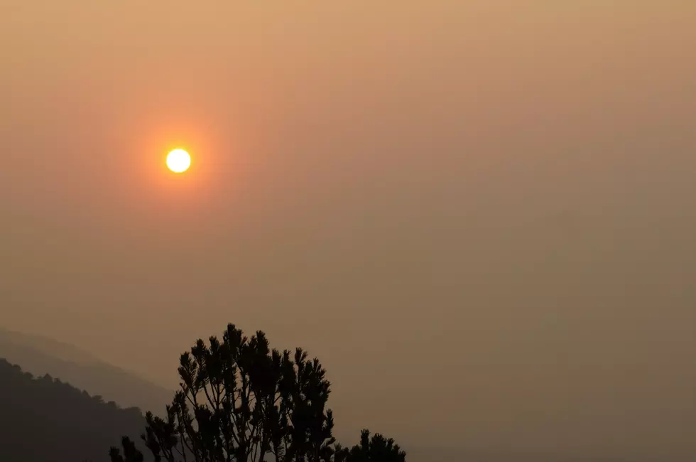
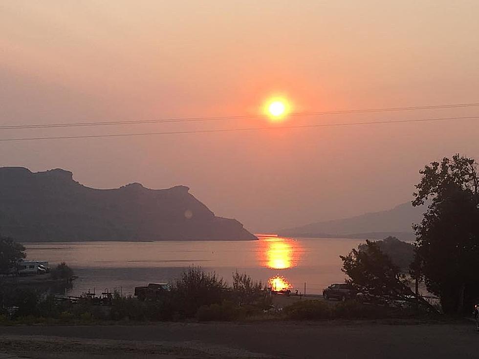
The Cheyenne Office of the National Weather Service is predicting another day of heavy haze and smoke in southeast Wyoming and the Nebraska Panhandle today [Wednesday].

But the agency says a cold front should begin to clear the smoke starting this evening.
The weather service posted this statement on its website on Tuesday evening:
Some bad news and some good news about Wednesday's forecast across southeast Wyoming and Nebraska Panhandle. Bad news first, smoke from upstream wildfires to our west will continue tonight and much of the day Wednesday. An Air Quality Alert remains in effect for our southern areas, basically along the I-80 Corridor from Pine Bluffs to Rawlins through 1 PM Wednesday. Smoke stays in the forecast overnight and Wednesday morning, we're sorry to say. Overnight lows will range from 48 at Saratoga to 58 at Chadron. Now the good news! We have a front coming into the area from the northeast. It will arrive Wednesday evening and is expected to help switch our winds to the northeast. This wind change should push much of the smoke and haze southwest, giving us some better air to breath. Until that front comes in though, we're stuck with hazy conditions and warm temperatures through one more day Wednesday. Highs tomorrow will range from 81 at Shirley Basin to 94 at Chadron. With this front moving in, we are expecting a cool down though for Thursday and Friday.
LOOK: 40 Discontinued & Special Edition Kellogg's Cereals
Gallery Credit: John Robinson
More From Y95 Country