Slightly Cooler In SE Wyoming Sunday, Severe Storms Possible
The Cheyenne Office of the National Weather Service says we can expect slightly cooler weather in southeast Wyoming on Sunday, although high temperatures will still range well into the 90s across much of the region.
Average temperatures in most areas are expected to be about 3-5 degrees cooler than Saturday's record and near-record highs.
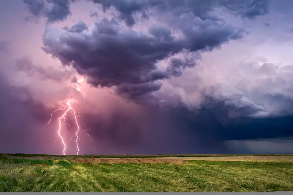
There is also a chance for severe thunderstorms in the region, with downburst winds of 70 miles per hour possible.
The agency posted this statement on Sunday:
Good morning! Your forecast for Sunday, 10 July 2022 across southeast Wyoming and Nebraska Panhandle, calls for increasing clouds through the day. It will be slightly cooler (not much) from yesterday's highs, as a cold front moves south into the area. Highs today range from 85 at Arlington to 99 at Sidney. Given the very dry air in place at this time, it's going to take some time for storms to develop. Will start to see high-based storms late afternoon after 4 PM. A Marginal Risk for severe storms in place today, mainly across the Nebraska Panhandle into extreme southeast Wyoming. Strong downburst winds of 60-70 mph will be the primary hazard with these storms through late evening (10 PM). Stay tuned!
The Sunday forecast follows a record-breaking day for high temperatures on Saturday in many areas:
Record heat recorded today, breaking several daily maximum temperatures across southeastern Wyoming and the Nebraska Panhandle! Temperatures are expected to remain elevated through tomorrow, with daytime highs in the upper 90s across most of southeastern Wyoming and upper 90s to low 100s for western Nebraska. Nevertheless, a weak cold front is expected to move through the area tomorrow night, which will bring much cooler temperatures for Monday. #WYWx #NEWx

Nearly $2 Million Laramie Home Overlooks the City with Amazing Views
Gallery Credit: Laramie Board of Realtors MLS via Zillow
More From Y95 Country


![Kevin Costner Responds to Rumors ‘Yellowstone’ Season 5 Will Be the Last [Watch]](http://townsquare.media/site/204/files/2022/07/attachment-kevin-coster-will-yellowstone-end-with-season-5.jpg?w=980&q=75)