Cheyenne NWS: Rain, Snow For SE Wyoming Tuesday
The Cheyenne Office of the National Weather Service is predicting rain and snow for southeast Wyoming tomorrow (Tuesday, April 27), followed by nicer weather heading into the weekend.

The agency posted this statement on Monday
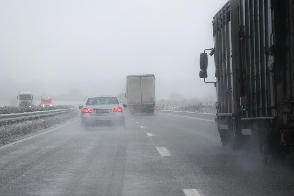
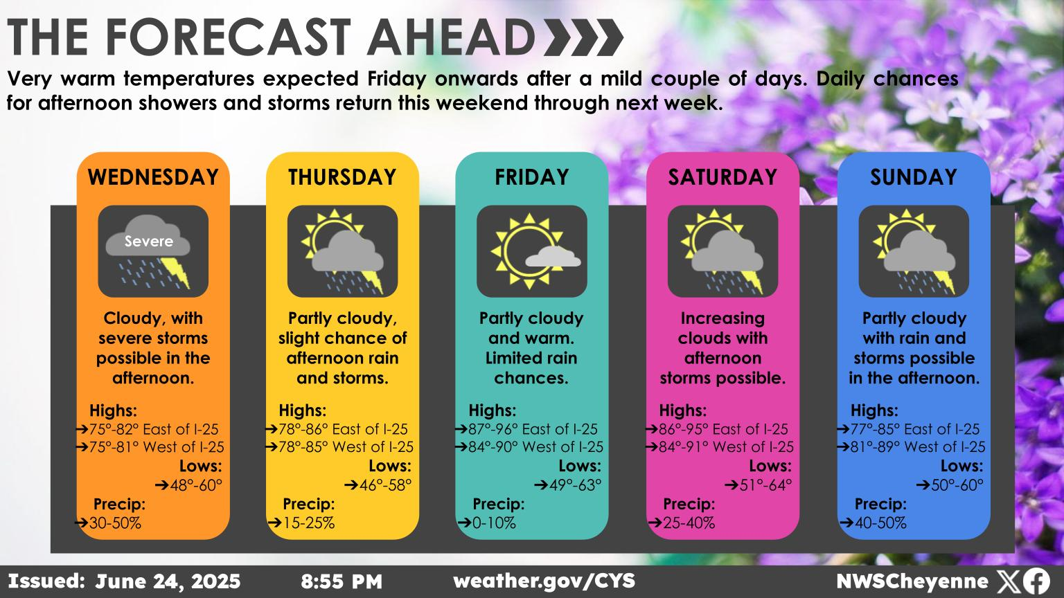
Overall, nice weather across southeast Wyoming and Nebraska Panhandle beginning Wednesday through the early weekend. Widespread precipitation is expected to move across southeastern Wyoming and the Nebraska Panhandle beginning early Tuesday morning. With the higher daytime temperatures, precipitation should stay mostly rain in the lower elevations, and mostly snow for the higher peaks. There is a chance for some rain transitioning to snow during the nighttime hours Tuesday night into early Wednesday morning. However, not much accumulation is expected as road temperatures remain fairly warm, outside of the higher terrains along I-80 near the summit, Sierra Madres, and the Snowy Range where snow totals will be higher. With that being said, there is a fair amount of uncertainty for these April systems. So make sure to check back often for all forecast updates. Once the precipitation pushes towards the east, mostly sunny skies expected for Wednesday through Friday as temperatures begin to warm up.

KEEP READING: Here are the most popular baby names in every state
Gallery Credit: Stacker
More From Y95 Country


