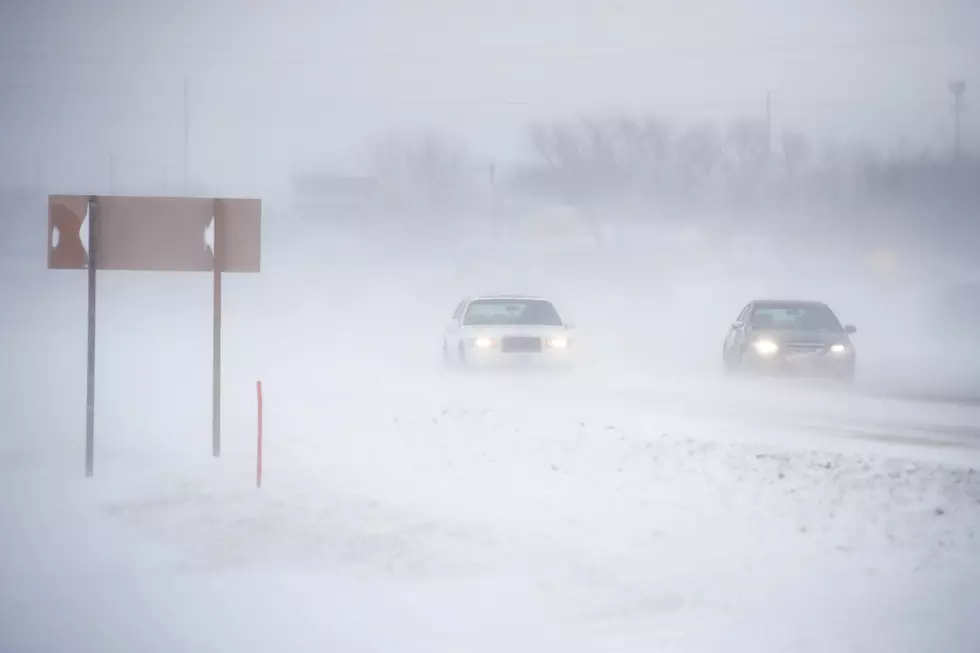
Up to 100 MPH Wind Gusts Possible in Southeast Wyoming Today
Hurricane-force winds are expected to slam southeast Wyoming today, the National Weather Service in Cheyenne says.
"This is likely to be one of the more impactful strong wind events for the entire wind season, with wind gusts of 65 to potentially 100mph being possible where High Wind Warnings are present," the agency said.

Forecasters say the strongest winds will be in the gap or wind-prone regions and are expected late Tuesday morning into the afternoon.
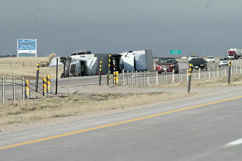
"The wind prone areas near Laramie Peak/Esterbrook/Coleman/Bordeaux along and near I-25 could see gusts of 80-100 mph," the NWS said.

January 9/545PM: Greetings! We are expecting a widespread strong wind event on Tuesday across southeast Wyoming. This is likely to be one of the more impactful strong wind events for the entire wind season, with wind gusts of 65 to potentially 100mph being possible where High Wind Warnings are present. The strongest wind gusts will be in the gap or wind prone regions of southeast Wyoming. After a brief lull in winds this evening, strong winds are expected to spill out of the wind prone areas late tonight/early Tuesday morning into Tuesday afternoon. Expect winds to ramp up for most areas by Tuesday morning after sunrise. The wind prone areas near Laramie Peak/Esterbrook/Coleman/Bordeaux along and near I-25 could see gusts of 80-100 mph! This will be a similar strong wind event to that of December 30, 2021 where a 99mph wind gust was recorded. Know before you go!
READ MORE:
- NWS Cheyenne: Several Inches of Snow, Travel Impacts Possible Midweek
- 99 MPH Wind Gust Recorded Along I-25 in Southeast Wyoming
Here's What Wyomingites REALLY Think About The Wind
25 costliest hurricanes of all time
TIPS: Here's how you can prepare for power outages
More From Y95 Country