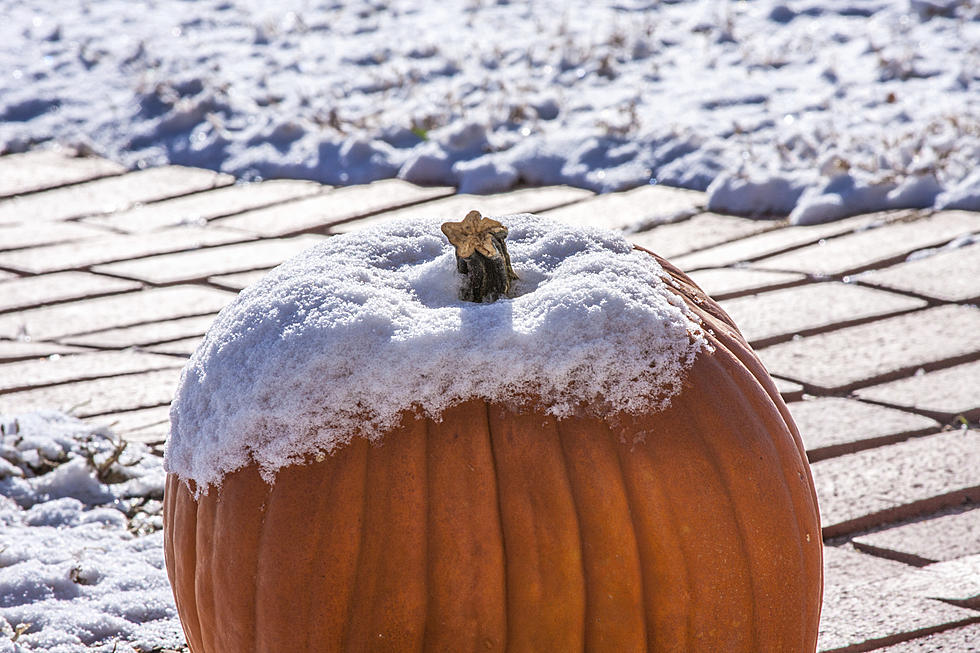
Blowing Snow Could Reduce Visibility, Impact Travel on I-80
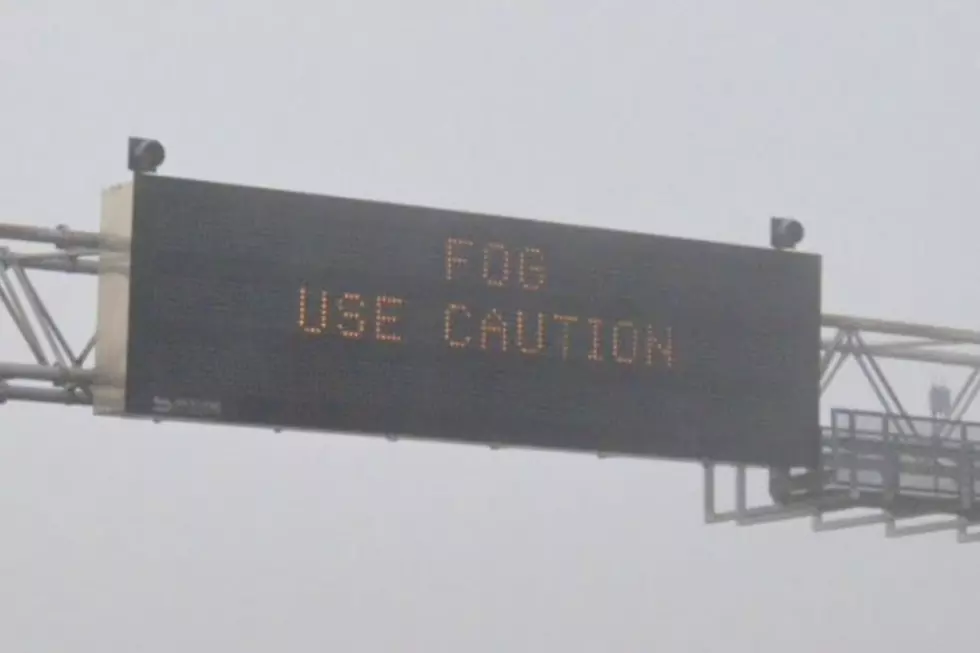
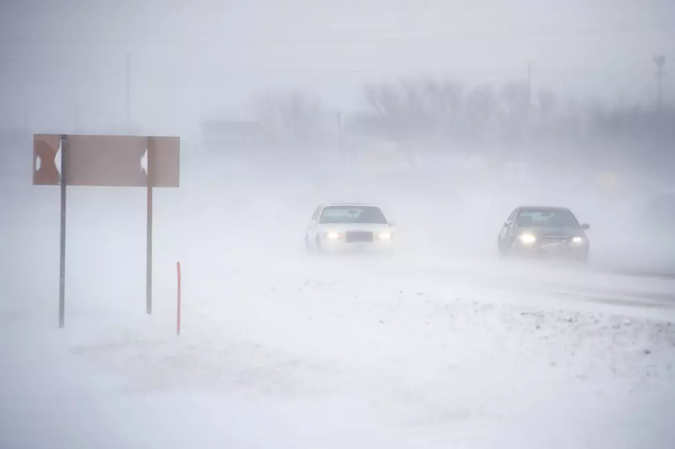
Blowing snow could significantly reduce visibility along portions of Interstate 80 in southeast Wyoming tonight through Wednesday.
A Winter Weather Advisory has been expanded to include portions of Carbon County including Rawlins, Elk Mountain, and Arlington.
330 PM Monday, 11 April 2022 Update: Winter Weather Advisories have been expanded into Carbon County for blowing snow and reduced visibilities. A Winter Storm Warning and Winter Weather Advisory are in effect for Carbon County, including the Sierra Madre and Snowy Range, from 6 PM Monday to noon Wednesday. Expect periods of moderate to heavy snow and poor visibilities with wind gusts up to 50 mph. Use caution if spending time in these areas! For the latest weather forecast, refer to weather.gov/cys

Winter Weather Advisory
URGENT - WINTER WEATHER MESSAGE
National Weather Service Cheyenne WY
307 PM MDT Mon Apr 11 2022

WYZ109>111-113-121200-
/O.EXB.KCYS.WW.Y.0017.220412T0300Z-220412T2100Z/
Central Carbon County-North Snowy Range Foothills-
Southwest Carbon County-Upper North Platte River Basin-
Including the cities of Rawlins, Arlington, Elk Mountain, Baggs,
Saratoga, and Encampment
307 PM MDT Mon Apr 11 2022

...WINTER WEATHER ADVISORY IN EFFECT FROM 9 PM THIS EVENING TO
3 PM MDT TUESDAY...

* WHAT...Snow and blowing snow expected. Total snow accumulations
  of 2 to 4 inches. Winds gusting as high as 50 mph.

* WHERE...Portions of Carbon County including Rawlins, Baggs, and
  Elk Mountain.

* WHEN...From 9 PM this evening to 3 PM MDT Tuesday.

* IMPACTS...Travel could be difficult at times. Patchy blowing
  snow will significantly reduce visibility.

PRECAUTIONARY/PREPAREDNESS ACTIONS...

Slow down and use caution while traveling.

The latest road conditions for the state you are calling from can
be obtained by calling 5 1 1.
URGENT - WINTER WEATHER MESSAGE
National Weather Service Cheyenne WY
307 PM MDT Mon Apr 11 2022

WYZ114-121200-
/O.CON.KCYS.WW.Y.0017.220412T0000Z-220413T1800Z/
Snowy Range-
Including the cities of Centennial and Albany
307 PM MDT Mon Apr 11 2022

...WINTER WEATHER ADVISORY REMAINS IN EFFECT FROM 6 PM THIS
EVENING TO NOON MDT WEDNESDAY...

* WHAT...Snow expected. Total snow accumulations of 6 to 12
  inches. Winds gusting as high as 50 mph.

* WHERE...Snowy Range.

* WHEN...From 6 PM this evening to noon MDT Wednesday.

* IMPACTS...Outdoor recreation could become life threatening to
  those caught unprepared for severe winter conditions. Hikers and
  snowmobilers may easily become disoriented. Frostbite and
  hypothermia can develop quickly. Blowing snow could
  significantly reduce visibility.

PRECAUTIONARY/PREPAREDNESS ACTIONS...

Slow down and use caution while traveling.

The latest road conditions for the state you are calling from can
be obtained by calling 5 1 1.
Winter Storm Warning
URGENT - WINTER WEATHER MESSAGE
National Weather Service Cheyenne WY
307 PM MDT Mon Apr 11 2022

WYZ112-121200-
/O.CON.KCYS.WS.W.0006.220412T0000Z-220413T1800Z/
Sierra Madre Range-
307 PM MDT Mon Apr 11 2022

...WINTER STORM WARNING REMAINS IN EFFECT FROM 6 PM THIS EVENING
TO NOON MDT WEDNESDAY...

* WHAT...Heavy snow expected. Total snow accumulations of 8 to
  16 inches. Winds gusting as high as 50 mph.

* WHERE...Sierra Madre Range.

* WHEN...From 6 PM this evening to noon MDT Wednesday.

* IMPACTS...Outdoor recreation could become life threatening to
  those caught unprepared for severe winter conditions. Hikers and
  snowmobilers may easily become disoriented. Frostbite and
  hypothermia can develop quickly. Blowing snow could
  significantly reduce visibility.

PRECAUTIONARY/PREPAREDNESS ACTIONS...

If you must travel, keep an extra flashlight, food, and water in
your vehicle in case of an emergency.

The latest road conditions for the state you are calling from can
be obtained by calling 5 1 1.
A High Wind Warning is in effect from 4 a.m. to 3 p.m. Tuesday for the roughly 50-mile stretch between Halleck Ridge and Quealy Dome.
330 PM Monday, 11 April 2022 Update: High Wind Watch has been upgraded to a High Wind Warning. A High Wind Warning is in effect for the Arlington/Elk Mountain area on Interstate 80, between mile markers 240 and 290, and for Bordeaux on Interstate 25 (mile marker 71) from 6 AM to 3 PM Tuesday. Westerly winds 35 to 45 mph with gusts up to 65 mph possible. Those towing camper trailers and truckers with light loads will see a risk for blowoffs or blow overs. For information on road conditions, refer to wyoroad.info. For the weather forecast, refer to weather.gov/cys
High Wind Warning
URGENT - WEATHER MESSAGE
National Weather Service Cheyenne WY
256 PM MDT Mon Apr 11 2022

WYZ106-110-121200-
/O.UPG.KCYS.HW.A.0030.220412T1200Z-220412T2100Z/
/O.NEW.KCYS.HW.W.0028.220412T1000Z-220412T2100Z/
Central Laramie Range and Southwest Platte County-
North Snowy Range Foothills-
Including the cities of Bordeaux, Arlington, and Elk Mountain
256 PM MDT Mon Apr 11 2022

...HIGH WIND WARNING IN EFFECT FROM 4 AM TO 3 PM MDT TUESDAY...

* WHAT...West winds 30 to 40 mph with gusts up to 60 mph
  expected.

* WHERE...Central Laramie Range and Southwest Platte County
  including Bordeaux. North Snowy Range Foothills including
  Arlington and Elk Mountain.

* WHEN...From 4 AM to 3 PM MDT Tuesday.

* IMPACTS...Mainly to transportation. Strong cross winds will be
  hazardous to light weight and high profile vehicles, including
  campers and tractor trailers.


PRECAUTIONARY/PREPAREDNESS ACTIONS...

A High Wind Warning means a hazardous high wind event is expected
or occurring. Sustained wind speeds of at least 40 mph or gusts
of 58 mph or more can lead to property damage.
The Worst Storms Of The Decade In Southeast Wyoming
More From Y95 Country