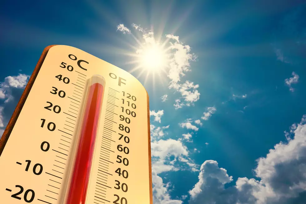
Cheyenne Hits 96 Degrees, Breaks 62-Year-Old Record
Wednesday's temperatures were a far cry from the usual, with several locations in southeast Wyoming and the Nebraska Panhandle either setting or tying record highs.
The mercury in Cheyenne soared to a sweltering 96 degrees, breaking the previous record high for the date of 93 degrees set in 1959, the National Weather Service said.
New records were also set in Chadron and Sidney, which topped out at 107 and 102 degrees, respectively.
Laramie and Rawlins, which set record highs of 91 and 95 degrees in 2006, tied their records.
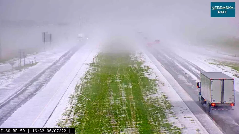
The good news is there is some relief in sight. The NWS says Thursday and Friday won't be as hot as today, with scattered late day thunderstorms on Thursday and numerous late day thunderstorms on Friday.

Thursday and Friday will not be as hot as today, with scattered late day thunderstorms on Thursday and numerous late day thunderstorms on Friday. Highs will range from 81 to 96 east of Interstate 25, with 80 to 90 west of Interstate 25. Saturday through Monday will be cooler, with numerous afternoon and evening thunderstorms over the weekend, and scattered afternoon and evening thunderstorms on Monday. Highs will range from 73 to 90 in the east, with 70 to 80 for the west.
The bad news is that there is a marginal risk for excessive rainfall and flash flooding for most of southeast Wyoming and the far northern Nebraska Panhandle Thursday, with a slight risk for portions of Carbon, Albany, and Laramie counties on Friday.

July 28th Evening Update: Showers and thunderstorms will become more widespread Thursday and Friday as monsoon moisture continues to push northeast across Wyoming. There is a Marginal Risk for excessive rainfall/flash flooding for most of southeast Wyoming and the far northern Nebraska panhandle Thursday, with a slight risk for portions of Carbon, Albany, and Laramie county on Friday. In this area it only takes about an inch or two of rain in a short period of time to quickly create flash flooding concerns, and closer to a half an inch to one inch in burn scar areas.
Frontier Days FLASHBACK: Nickelback Rocks In The Rain
LOOK: The most expensive weather and climate disasters in recent decades
Gallery Credit: KATELYN LEBOFF
More From Y95 Country