NWS Cheyenne: Relief From Sizzling September Heat in Sight
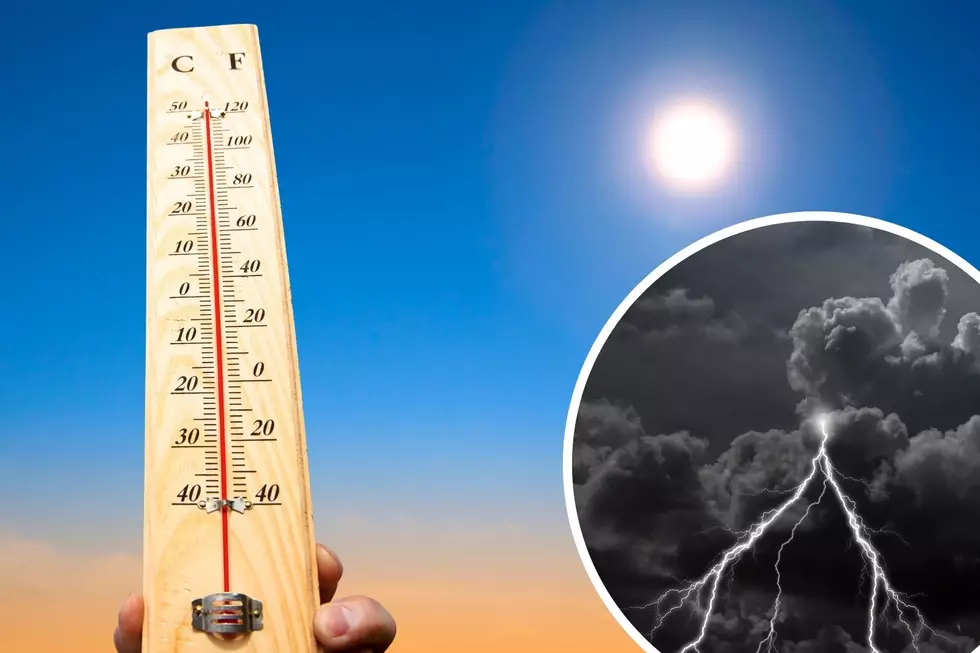
Hot, dry and dusty conditions are expected across southeast Wyoming and the Nebraska Panhandle again Friday, but some relief is in sight.
The National Weather Service in Cheyenne says a cold front will move through the area Saturday, cooling things down quite a bit.
"Most areas will see at least a small chance for thunderstorms," the agency said Wednesday evening. "Afternoon storms look like a good bet west Saturday afternoon, while the Panhandle will likely see these storms Saturday evening."

The NWS says afternoon and evening thunderstorms will also be possible Sunday and Monday, especially along Interstate 80.
8/715PM: Greetings! After a hot, dry and dusty Thursday and Friday, the weekend looks a bit more unsettled for southeast Wyoming and Nebraska Panhandle. We have a cold front moving through the area, that will cool us down quite a bit from the late week hot temperatures. Looks like most areas will see at least a small chance for thunderstorms, especially Saturday when the front moves through. Afternoon storms look like a good bet west Saturday afternoon, while the Panhandle will likely see these storms Saturday evening. Storms stay with us Sunday and Monday, especially for folks along the I-80 Corridor. Here's hoping you see some rainfall with these storms. Be safe!
KEEP READING: Get answers to 51 of the most frequently asked weather questions...
More From Y95 Country