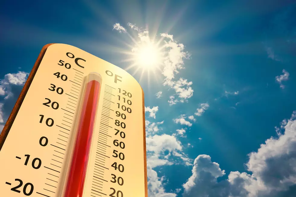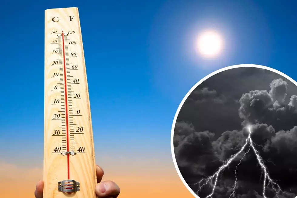
NWS Cheyenne: Hot With Increasing Chances for Storms Late Week
Southeast Wyoming and the Nebraska Panhandle could pick up some desperately needed rain over the next week.
The National Weather Service in Cheyenne says while it will be mainly hot and dry east of the Laramie Range on Thursday, areas west of Interstate 25 can expect to see afternoon and evening showers and storms.
"Monsoon moisture slowly moves east for Friday, with much of southeast Wyoming seeing increased chances for afternoon and evening storms," the NWS said.

The NWS says most locations stand a good chance for afternoon and evening showers and storms this weekend, which will cool things off.

9/250PM: Here's a look at the forecast across southeast Wyoming and Nebraska Panhandle through the weekend. Monsoon moisture begins to creep into areas west of the Laramie Range Wednesday. Afternoon and evening showers and storms out west expected for Thursday. East of the Laramie Range, mainly hot and dry conditions expected Thursday. Monsoon moisture slowly moves east for Friday, with much of southeast Wyoming seeing increased chances for afternoon and evening storms. Finally for the weekend, most locations stand a good chance for afternoon and evening showers and storms. Cooler temperatures for the weekend, as clouds and precipitation chances increase. Here's hoping everyone gets some much needed rainfall over the next week.
READ MORE:
LOOK: The most extreme temperatures in the history of every state
Gallery Credit: Anuradha Varanasi
KEEP READING: Get answers to 51 of the most frequently asked weather questions...
More From Y95 Country