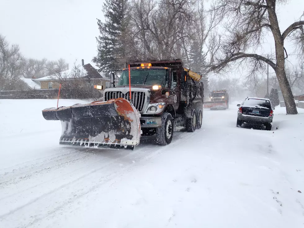
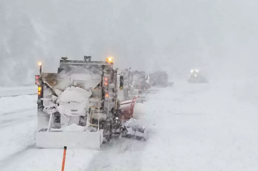
Portions of Interstate 80 in southeast Wyoming could see gusts up to 65 mph tomorrow through Saturday, which, combined with the recent snow, could make for ground blizzard conditions.
Wind Chill Advisories are in effect for most of southeast Wyoming and the northern Nebraska Panhandle starting at 5 p.m. this afternoon through 8 a.m. Thursday.
Wednesday's temperatures were a far cry from last week's deep freeze, with several locations in southeast Wyoming and the Nebraska Panhandle either setting or tying record highs.
Folks in southeast Wyoming and the Nebraska Panhandle will want to enjoy the warm, dry weather while it lasts, as winter conditions look to return this weekend.
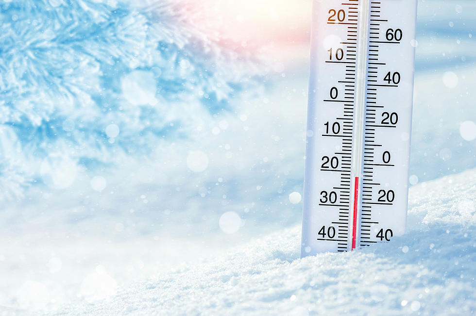
Temperatures in southeast Wyoming and the western Nebraska Panhandle are expected to stay in the single digits today, with some areas, including Cheyenne, remaining below zero the entire day.